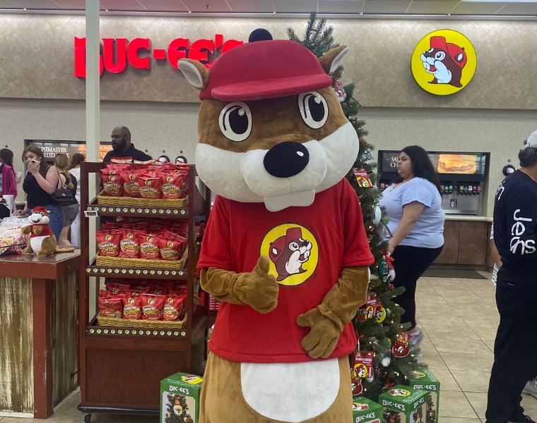
Mapping Buc-ee’s Boom: TCU Students Chart the Travel-Center’s Expansion

Buc-ee’s may be famous for Beaver Nuggets and spotless restrooms, but a team in Professor Sean Crotty’s Economic Geography course saw something else: a location strategy that defies the gas-station rulebook. Using GIS, Landon Stitt, Drew Chansolme, Tyler Cairns and Guy Sagamba mapped every Buc-ee’s across the U.S., revealing how interstate access, population corridors and rival travel centers drive the beaver’s carefully choreographed growth.
Their interactive StoryMap shows why travelers will detour hundreds of miles for a Buc-ee’s stop, and how spatial analysis turns road-trip folklore into real-world business insight.